In brief
To find gas stations along your route, open the full drive first and search for fuel near the section where you expect to stop—not only near your current location. Add a candidate station to the route, compare the complete exit-and-return detour, and check that it is accessible from your travel direction. Confirm current opening hours, the required fuel type, and payment or vehicle restrictions, then save a second station farther along the route as a backup.
Decide where you want to refuel before searching
A search for “gas station near me” answers what is close now. It does not tell you which station fits the rest of a long drive.
Start with the complete route and decide on a useful fuel window. That might be before a rural section, near a meal break, before crossing a border, or while the tank still leaves a comfortable margin. The right point depends on the vehicle, conditions, available services, and the driver's judgment; use the vehicle's fuel information rather than a generic distance rule.
The National Highway Traffic Safety Administration advises keeping the gas tank close to full whenever possible and reviewing the route before a long trip. Planning the stop early also gives you more choices if a station is closed, inaccessible, or unsuitable.
Use a route-first fuel-stop workflow
Map the direct drive
Open directions to the final destination and note the main roads, remote sections, borders, toll roads, and expected travel time.
Choose a fuel window
Identify the part of the route where refuelling would be convenient while the vehicle still has a safe margin.
Search along that route section
Look for gas stations near the route corridor rather than searching the entire journey or only around your current position.
Add the station and compare the route
Check the full exit, access road, crossing or turnaround, and return toward the destination—not just the pin's distance from the highway.
Save a fallback
Keep another suitable station before or after the first choice in case hours, access, queues, or fuel availability change.
This is the same method used for finding other stops along a route without large detours: choose where the stop belongs first, then compare actual places.
Check more than distance
A station beside the road may still be wrong for the trip. It can sit on the opposite carriageway, require a long turnaround, close before arrival, or lack the fuel the vehicle needs.
| Check | Why it matters | What to verify |
|---|---|---|
| Fuel | Not every station carries every fuel type or grade | The exact fuel required by the vehicle |
| Travel direction | A nearby pin can require crossing or backtracking | Entrance and return toward the destination |
| Opening hours | Late-night and holiday access can differ | Current hours and whether payment is available after reception closes |
| Vehicle access | Trailers, vans, or larger vehicles may need more room | Height, length, turning space, and pump access |
| Total detour | Straight-line distance hides slow exits and local roads | Added time for leaving and rejoining the route |
| Backup | Listings, queues, and availability can change | A second suitable station within the remaining range |
If the stop also needs restrooms, food, or a proper driving break, compare commercial fuel stops with the options in the guide to rest stops along your route. One combined stop may be better than leaving the highway twice.
Fuel range does not decide the driver's complete break schedule. The guide to how often to stop on a road trip shows how to place rest checkpoints first, then combine fuel, food, and passenger needs where that still creates a meaningful break.
Find gas stations in Google Maps
Google Maps documents a Search along route control during navigation for places such as restaurants and gas stations. Start navigation or open the route, use the along-route search, and inspect the candidates ahead of you.
Before adding one, check:
- whether it is genuinely ahead on the route;
- the estimated added time;
- the entrance from your travel direction;
- current listed hours and place details;
- and the next realistic option if you skip it.
Map listings are useful planning inputs, not guarantees of live pump status, price, or fuel availability. Verify critical details directly with the station when the trip depends on them.
Find fuel in Apple Maps
Apple Maps supports searches for nearby services, with availability varying by country or region. Search for gas station, petrol station, or the required brand or fuel type, then move the map toward the route segment where you plan to stop.
Open the place card, add the station to the drive, and review the new route. Do not choose a result only because it is closest to the current map center; make sure it advances the journey and is accessible from the correct side of the road.
Find a gas station in Waze
Waze lets drivers set a preferred gas type and brand, and its help documentation describes sorting station results by price, distance, or brand. These preferences can narrow the list, but station information and displayed prices can change, so check the current result before relying on it.
Waze also documents that only one intermediate stop can be added to a route. If fuel is the only extra stop, add it before the final destination. If the trip includes fuel, lunch, and another break, keep the full order elsewhere and navigate one leg at a time. The Waze multiple-stops guide explains that workflow.
Make route changes before departure, let a passenger handle them, or pull over safely. Do not search on the phone while driving.
Example: fuel before a remote section
Imagine a six-hour drive with a long rural section in the second half. The route shows several stations around the three-hour point.
- Station A looks closest to the highway, but it is across the divided road and requires backtracking.
- Station B is a few minutes farther ahead, directly accessible from your carriageway, and has another station nearby as a fallback.
- Station C is the cheapest result shown, but it lies much later in the remote section and leaves little flexibility if it is closed.
Station B is likely the more practical route choice even if it is not the closest pin or the lowest displayed price. It fits the direction of travel, keeps a safety margin, and preserves a backup.
When fuel is one part of a larger stop request
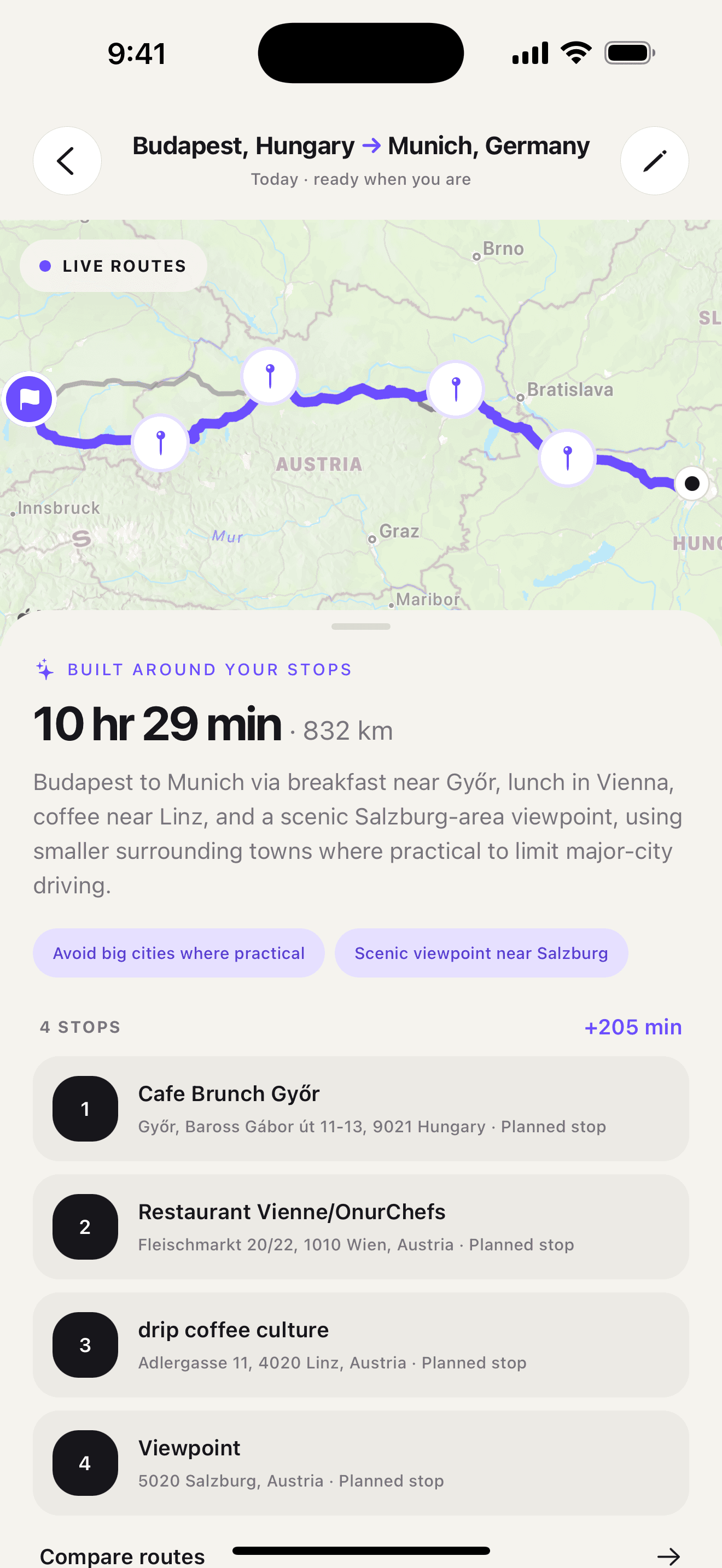
Ownway helps when the fuel stop must fit with other road-trip needs and the exact places are not yet known. You can describe the full drive in one request:
Drive from Vienna to Lake Bled. Add fuel before the rural section, then find a good lunch stop about an hour later. Keep both close to the route and avoid city-center detours.
Ownway can find and order suitable places, compare the planned itinerary with direct alternatives, and hand navigation to Apple Maps, Google Maps, or Waze. It does not guarantee live fuel price, pump operation, opening hours, or availability; verify critical station details before depending on the stop.
Sources
- Use navigation in Google MapsGoogle Maps Help · Accessed October 29, 2026
- Find nearby attractions, restaurants, and services in Maps on iPhoneApple Support · Accessed October 29, 2026
- Set preferred gas stationsWaze Help · Accessed October 29, 2026
- Add a stop to your routeWaze Help · Accessed October 29, 2026
- Summer Driving & Road Trip TipsNational Highway Traffic Safety Administration · Accessed October 29, 2026
- ownway: Multi-Stop PlannerApple App Store · Accessed October 29, 2026