In brief
To find rest stops along your route, map the drive first, estimate where you will need a break, and search near that part of the route—not around your current location alone. For official highway rest areas, check the road authority's live map before departure because a map listing does not confirm that the site is open. If you also need fuel, food, or lodging, search for a commercial service stop instead.
Decide what kind of rest stop you need
“Rest stop” can describe two different places. An official highway rest area is intended for a short break from driving. The Federal Highway Administration says Interstate rest areas generally provide parking, restrooms, water, and other basic facilities, while commercial services are usually found away from the highway.
A gas station, truck stop, service plaza, coffee shop, or hotel can be a better match when the break has another purpose. Choose the stop type before searching so you do not arrive at a basic rest area expecting a meal or fuel.
| Stop type | Best for | Check before choosing |
|---|---|---|
| Official highway rest area | Restrooms, stretching, changing drivers, a short pause | Open or closed status, direction of travel, listed facilities |
| Service plaza or truck stop | Fuel, food, restrooms, and a longer break in one place | Hours, access from your carriageway, parking |
| Gas station or coffee stop | A quick practical break | Opening hours and total exit-and-return time |
| Hotel | An overnight break | Check-in time, parking, and the next morning's route |
When fuel is the primary reason for stopping, the guide to finding gas stations along your route explains how to choose a refuelling window, check access from your travel direction, and keep a backup station.
If the break needs to become an overnight stay, the guide to finding hotels along your route explains how to choose the stopping corridor and compare both the evening detour and the next morning's return to the route.
Check an official road source before you rely on a rest area
State and national road authorities are the best source for temporary closures and site status. For example, Caltrans directs drivers to its QuickMap, where rest-area markers can be shown as open, closing, or closed. Other regions use their own highway maps or traveler-information services.
Before leaving, check:
- whether the rest area is open;
- which side of the highway it serves;
- whether there is access from your travel direction;
- the listed facilities and any temporary limitations;
- and the next reasonable fallback if it is unavailable.
Map apps are useful for discovery and navigation, but the official road authority should settle questions about current rest-area status.
If the unanswered question is when the breaks should happen rather than where to stop, use the guide to planning a road-trip break schedule. It explains the two-hour planning benchmark, reasons to stop earlier, and how to combine rest, food, fuel, and overnight needs.
How to search along the route in your map app
How to find rest stops on Google Maps
Start directions to the final destination, then search along the active route. Google documents category searches in Maps and, in CarPlay, shows options such as gas stations, restaurants, groceries, and coffee shops with estimated detour times. Search for rest area, service plaza, or the specific facility you need near the part of the route where you expect to stop.
Open the place details before adding it. Check the location, recent information, route direction, and the time added to the complete trip. For an official rest area, confirm the status separately with the responsible road authority.
How to find rest stops on Apple Maps
Apple Maps supports nearby category and custom searches, although available features vary by country or region. Search for rest area, gas station, coffee, or another useful stop type, then compare the candidates against your planned route rather than choosing the closest result to your current position.
Waze
Waze suggests categories such as food, fuel, and parking when adding a stop, but it allows one intermediate stop before the final destination. If your journey needs several breaks, keep the complete order elsewhere and open each next leg in Waze. The Waze multiple-stops guide explains the current limit and the leg-by-leg workflow.
A five-step rest-stop planning method
If the break should divide the journey roughly in two, use the guide to finding a usable halfway point between two places before checking the rest area's status, direction, and facilities.
Map the direct route
Note the normal duration and the major highways. This is the baseline for judging every break.
Choose a break window
Decide approximately when you want to stop. A time or route segment is more useful than searching the full journey at once.
Name the actual need
Separate a restroom-and-stretch break from fuel, food, charging, or an overnight stay.
Check status and direction
Verify official rest-area status with the road authority, then confirm that the entrance works from your side of the highway.
Save a fallback
Keep one alternative farther along the route in case the first site is closed, full, or unsuitable when you arrive.
For a longer journey, place rest breaks into the same itinerary as meals and sightseeing. The broader guides explain how to find different kinds of stops without big detours and plan the complete road trip with multiple stops.
Example: planning two breaks on a six-hour drive
Suppose the direct journey takes six hours. You want a short restroom break after about two hours and coffee around the four-hour point.
First, inspect the route near the two-hour segment and find an official rest area in your direction of travel. Confirm its status on the relevant highway-information site and save the next rest area as a fallback. Then search the four-hour segment for coffee, compare the full exit-and-return time, and choose a place that does not pull the drive far from the main corridor.
The result is a planned sequence rather than two last-minute searches. You know why each stop exists, when it should happen, and what to do if the first choice is unavailable.
When the exact stop is still unknown
If you know you need “a clean rest break around halfway, then coffee later with no large detour” but do not know the places, Ownway can turn that description into an ordered stop plan. It is designed for trips where the destination is known but the right stops are not.
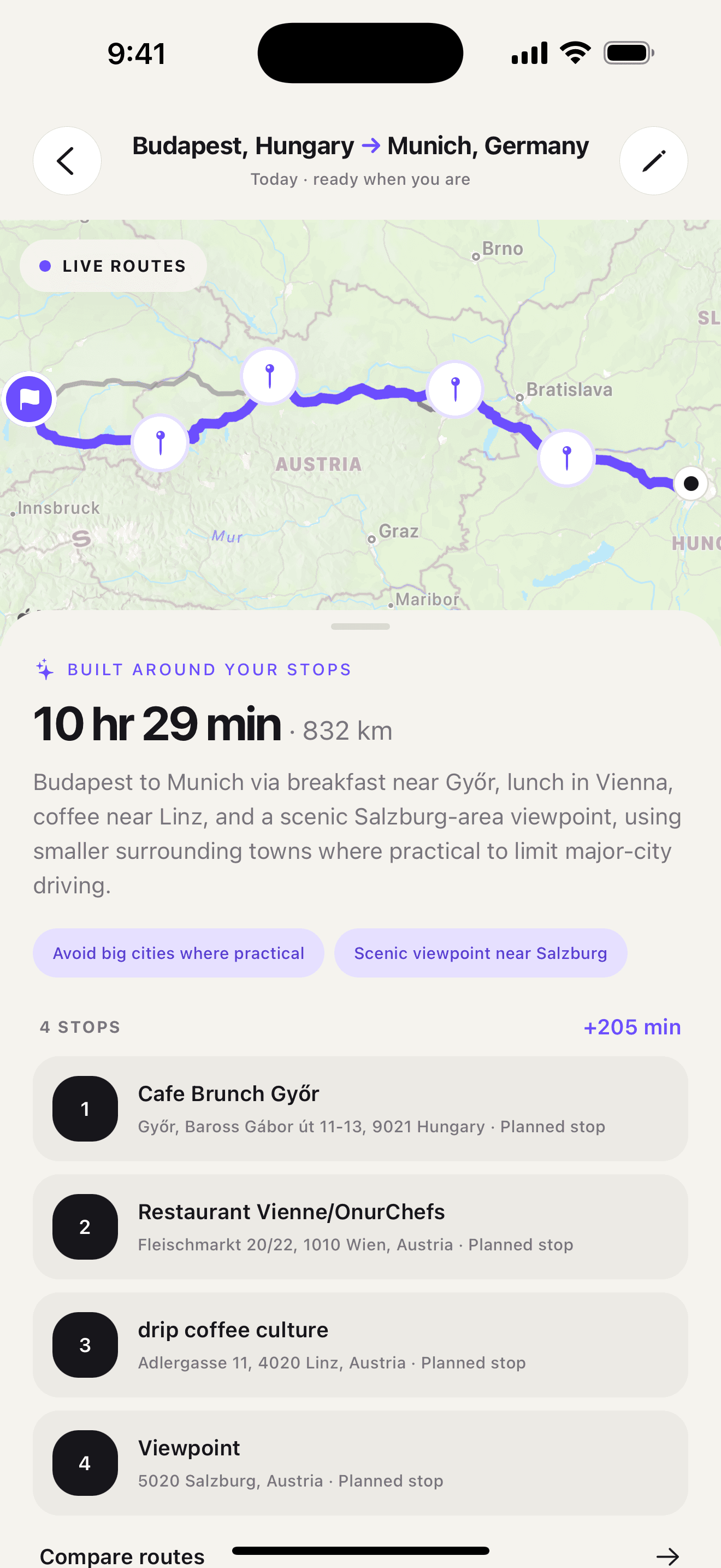
Ownway uses available place and route data to find fitting options; it is not the official source for highway rest-area closures. Verify a public rest area's current status with the responsible road authority, then hand the planned drive to Apple Maps, Google Maps, or Waze.
Sources
- Safety Roadside Rest AreasCalifornia Department of Transportation · Accessed October 23, 2026
- QuickMap Frequently Asked QuestionsCalifornia Department of Transportation · Accessed October 23, 2026
- Interstate Frequently Asked QuestionsFederal Highway Administration · Accessed October 23, 2026
- Search for locations in Google MapsGoogle Maps Help · Accessed October 23, 2026
- Use Google Maps on CarPlayGoogle Maps Help · Accessed October 23, 2026
- Find nearby attractions, restaurants, and services in Maps on iPhoneApple Support · Accessed October 23, 2026
- Add a stop to your routeWaze Help · Accessed October 23, 2026